Pruzhany District
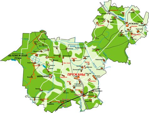
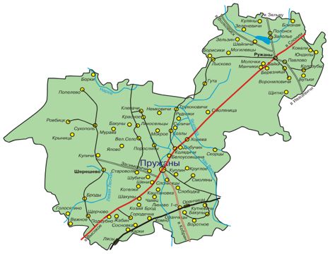
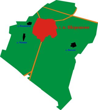
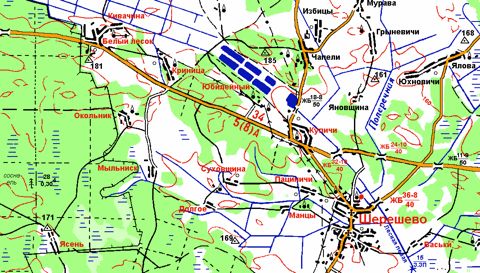
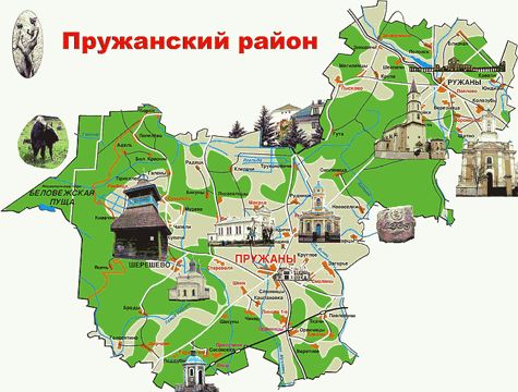
The Pruzhany District lies in the north-west of the region and is one of the largest, 2,834 km², reaching the border with Poland. It was formed on 15 January 1940. It includes part of the Białowieża Forest National Park and the urban settlements of Ruzhany and Shereshevo.