Brest Region
The Brest Region lies in the south-west of Belarus and covers about 32,700 km². It was formed on 4 December 1939, after Western Belarus was joined to the Byelorussian SSR. Its present borders date from 1954, when the abolished Pinsk Region and part of the Baranovichi Region were added to it.
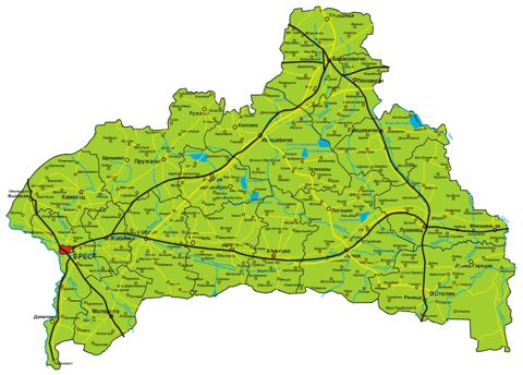
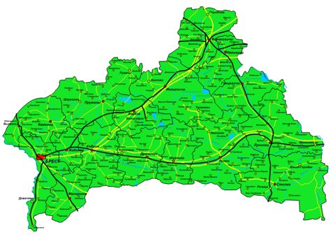
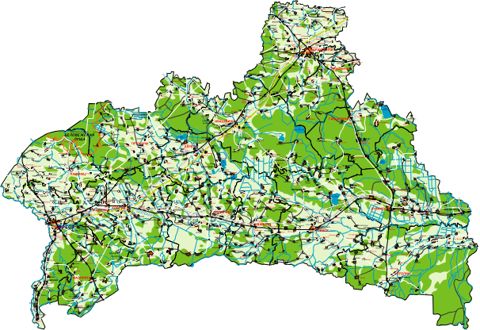
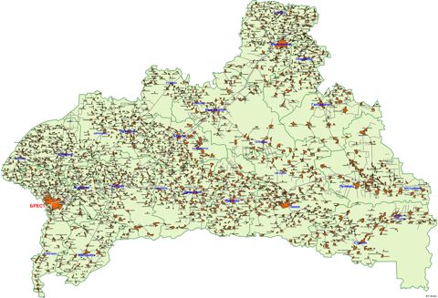
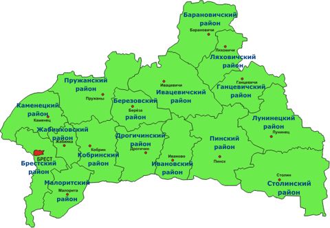
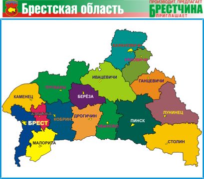
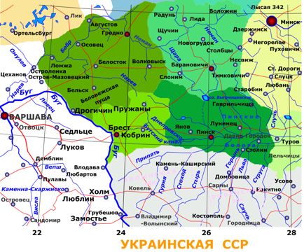
This page collects overview maps of the region - roads and settlements, forests and waters, districts and administrative division - and a map of the region in 1940, when its borders were still different.