Brest
Brest is the regional centre on the Western Bug at the mouth of the Mukhavets, a city on the border with Poland. It is first mentioned in the chronicle under the year 1019. In the 19th century the Brest-Litovsk Fortress was built on the site of the old town, and the town was moved further east; from 1921 to 1939 it was called Brześć nad Bugiem and belonged to Poland.
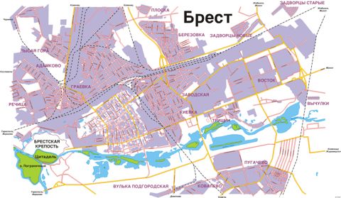
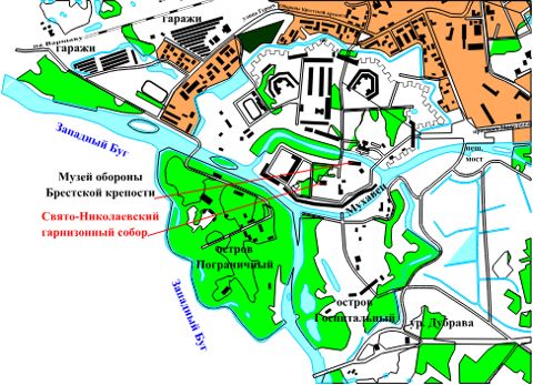
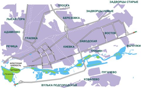
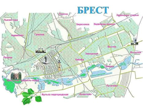
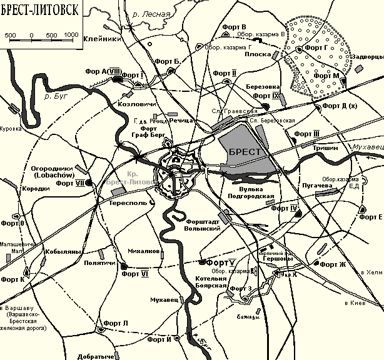
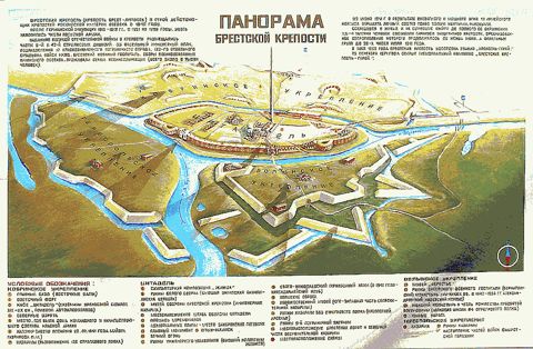
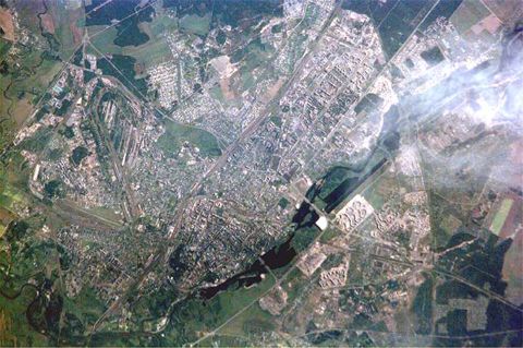
The maps show the city plan and its districts, the Brest Fortress and its surroundings, a tourist map, a satellite image, a panorama of the fortress and a plan of Brest-Litovsk in 1912.