In the Russian Empire: governorates and uyezds (1795-1915)
After the Third Partition of the Polish-Lithuanian Commonwealth in 1795 the lands of today's Brest Region became part of the Russian Empire. The west - the Brest, Kobrin, Pruzhany and Slonim uyezds - belonged to the Grodno Governorate from the early 19th century, the east with Pinsk to the Minsk Governorate.
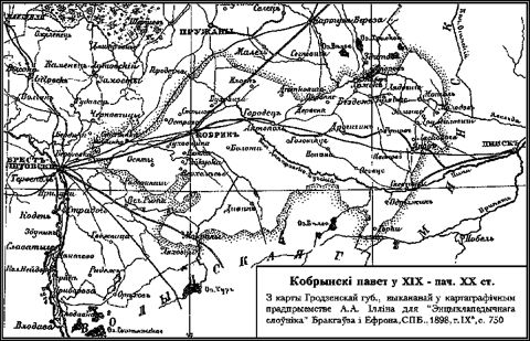
An uyezd was larger than today's district: the Kobrin Uyezd, for example, also covered lands that now belong to neighbouring districts. This is clearly visible on the map of the Kobrin Uyezd of 1898.
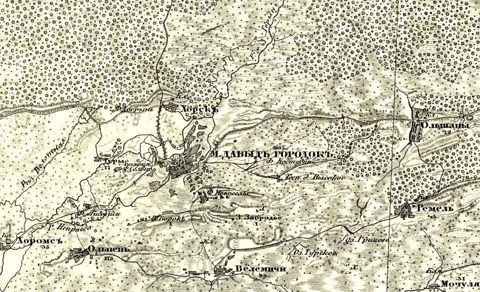
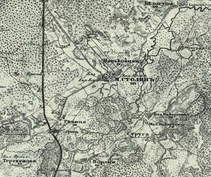
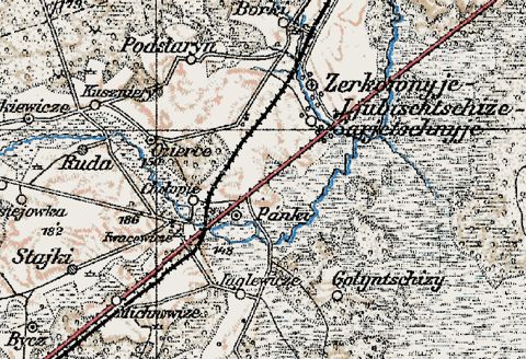
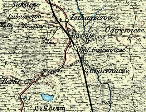
Maps of this time - Russian military topographic maps and their German reprints - are labelled in pre-reform Russian spelling. The abbreviation "m." stands for mestechko, a small market town. In the second half of the century the Moscow-Warsaw highway (1840s) and railways crossed the area: new towns grew up around the stations - Baranovichi, Zhabinka - and older ones, like Luninets, turned into railway junctions.