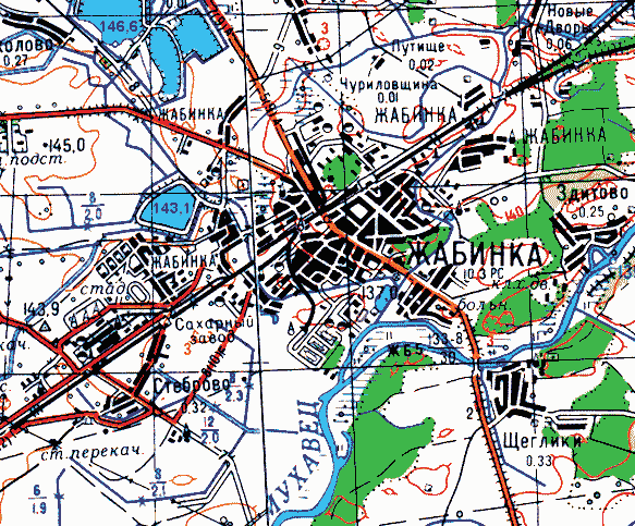
Zhabinka on a topographic map
Zhabinka District · Town plans
Download
- SVG - vector map 98 KB
- SWF - original Flash file 56 KB
Zhabinka on a section of a topographic map: the built-up area, the railway junction, the Mukhavets, roads and spot heights.
Zhabinka stands where the Zhabinka river flows into the Mukhavets. The town grew up at a station of the Moscow-Brest railway and in time absorbed villages known since the 16th-17th centuries.